


Ring 6

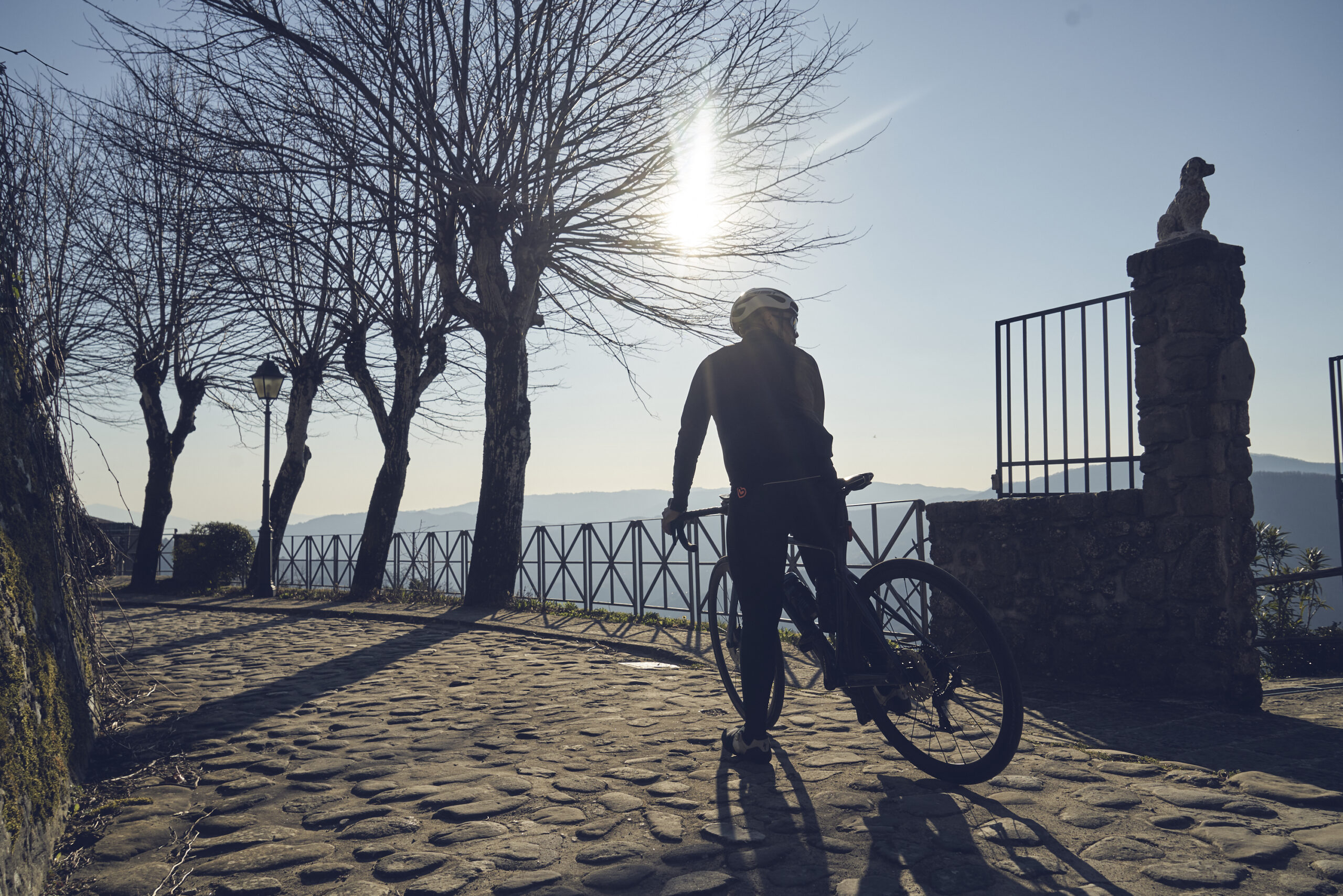
Road bike route
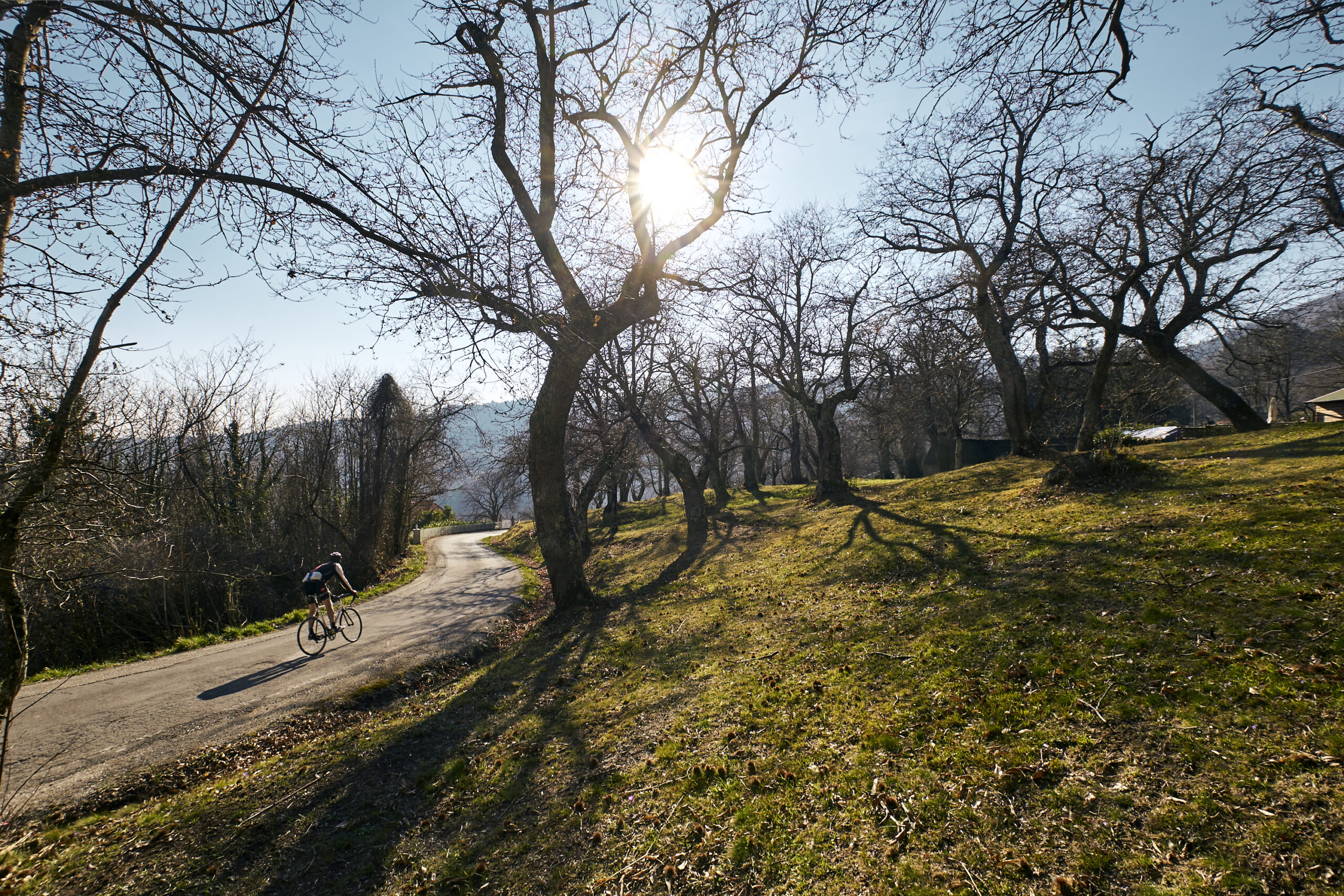
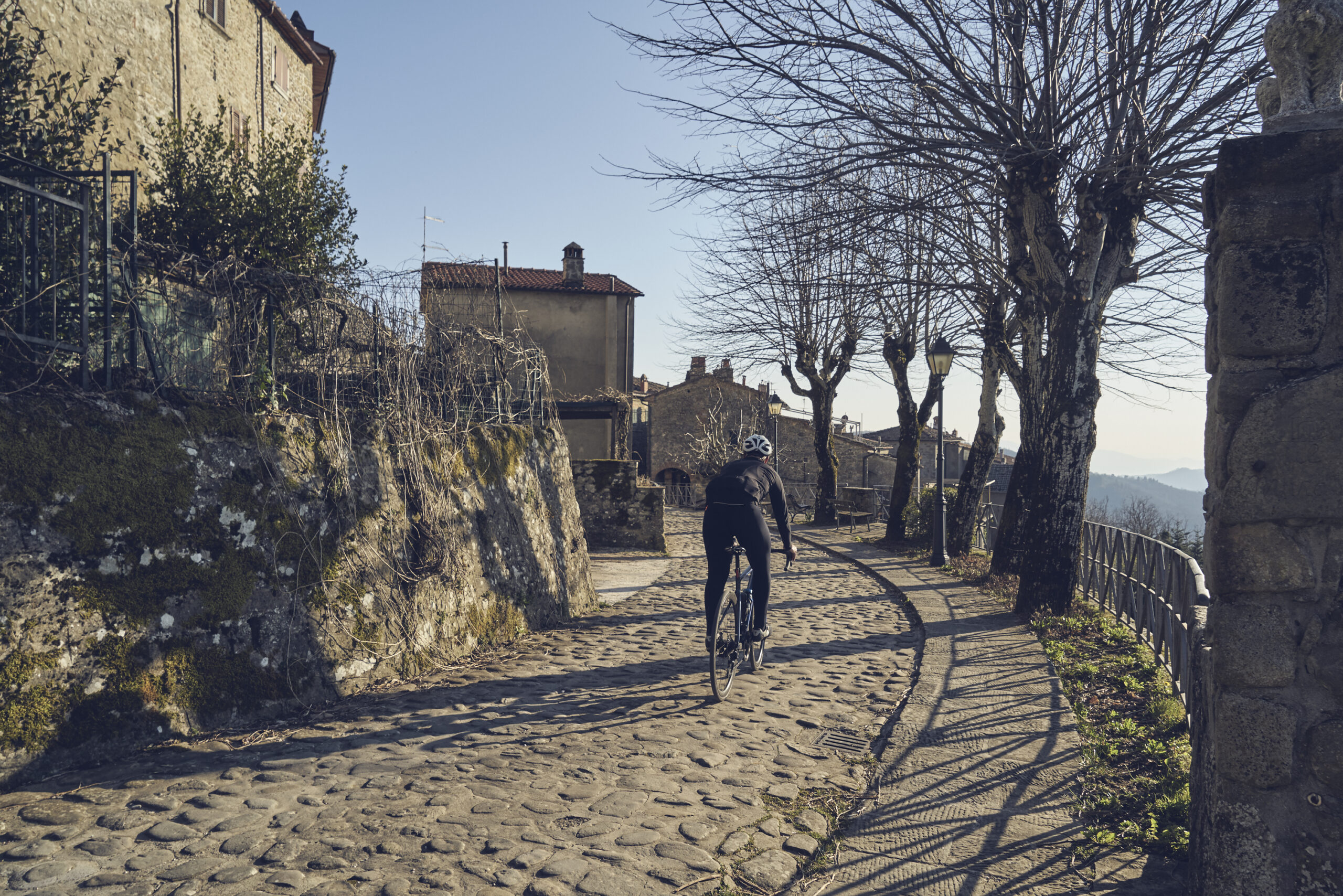
A route designed specifically for road biking, with a route completely on asphalt along a scenic and little-traveled route. Along the route there are several refreshment points, essential stops to recover from the exertions on the pedals. It passes through villages and hamlets ideal for a stop, such as Marliana, Avaglio, Panicagliora and Goraiolo. Designed to be ridden clockwise, with a smoother route and easier gradients. But for those who want to try a more challenging variant, simply reverse the direction of travel.
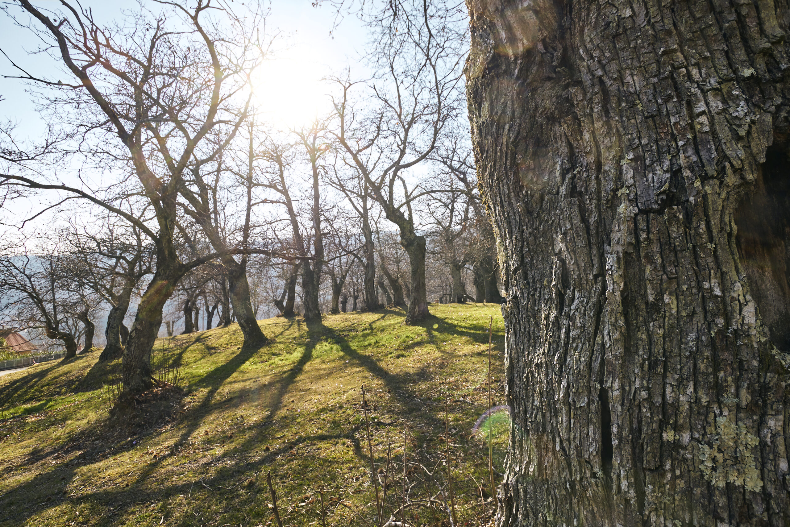
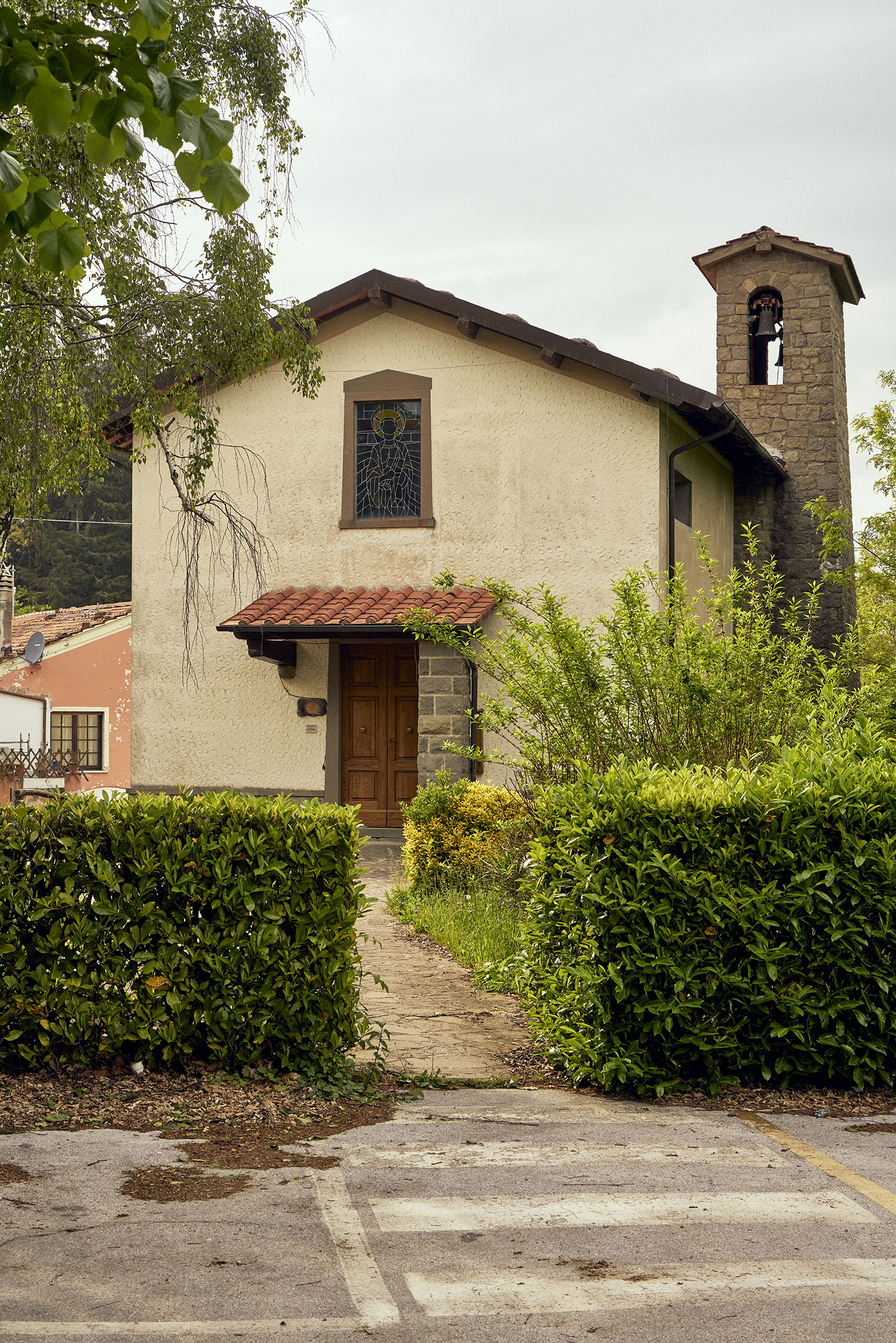
RouteRing 6Conveyanceroad biking Km totali20.9Difference in altitude837mt maximum altitude - 177mt minimum altitudeSoilMixed asphalt 20%; unpaved 60%; trail 20%Environment and culture- Marliana: the village, the church of San Niccolò and the oratory of Sant'Antonio Abate - Panoramic road - Avaglio: the village and the church of San Michele - Scenic road to MarlianaIntegrations and links- Connection with rings 2 and 4 - Southern connection to the Val di Nievole - West connection toward Montecatini
For a correct display of the routes first download Google Earth Pro for free for Smartphone, PC, MAC (or GPX viewer for iOS and Android)